
Hidden liabilities lurk just inches beneath a seemingly perfect parcel of commercial land. Buying a plot without subsurface data acts as a high-stakes gamble that often stalls major developments indefinitely. Developers must find underground utilities before finalizing any real estate transaction.
Partnering with underground utility locating services instantly mitigates these extreme financial risks. Superior Scanning serves as a crucial technical ally during the due diligence phase to protect project equity.
Table of Contents
Don’t Cut, Core, or Drill Blind
Superior Scanning is trusted on complex job sites
Why Is Pre-Purchase Subsurface Due Diligence Crucial?
Real estate acquisitions carry hidden operational and financial liabilities tied directly to the soil. Unmapped infrastructure can completely derail a development budget if discovered late in the design or excavation process. Knowing exactly what lies beneath the surface allows a developer to negotiate fair land prices or proactively adjust site plans.
Elimination of Hidden Financial Liabilities
Discovering massive concrete duct banks after purchasing the property forces developers to spend thousands of dollars on unexpected structural removals. Thorough underground utility locating services highlight these costly obstacles early.
Protection of Project Timelines
Striking an undocumented pipe halts all site work and triggers an immediate safety investigation. Reliable utility location services ensure heavy machinery operates without causing catastrophic delays.
Leverage in Real Estate Price Negotiations
Finding hidden hazards before the closing date gives buyers the power to renegotiate the asking price. Sellers often reduce the land cost to offset the necessary utility relocation costs.

What Hidden Hazards Lurk Beneath Commercial Parcels?
Specific types of buried infrastructure commonly cause costly issues for new construction projects. Abandoned systems or deep-set conduits turn a routine dig into a massive safety hazard. A professional team uses private utility locating services to map these unseen threats:
- Abandoned underground storage tanks from legacy commercial operations
- High-voltage electrical lines feeding adjacent properties
- Undocumented private fiber-optic networks and telecommunication links
- Deep-set concrete duct banks and heavy drainage systems
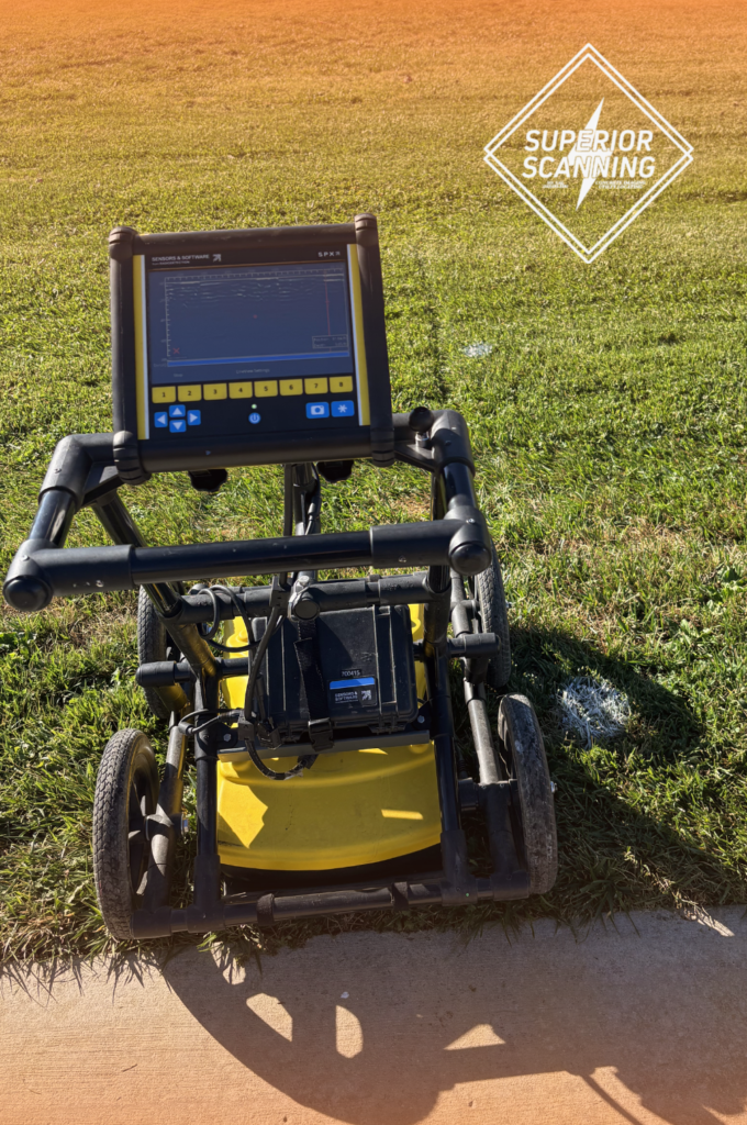
Specialized underground utility-locating companies possess the advanced radar tools needed to locate these specific historical hazards.
Don’t Cut, Core, or Drill Blind
Superior Scanning is trusted on complex job sites
Why Is the Public 811 System Insufficient for Developers?
Public utility locators are subject to strict legal limitations and only track public infrastructure up to the main property meter. Commercial plots frequently feature complex networks of privately owned connections that public systems are legally prohibited from mapping. Partnering with specialized private utility-locating companies ensures that the entire parcel is thoroughly verified.
Scope Limitations of Public Locating Hotlines
Government locators only mark the utility lines owned by the city or local municipality. The free service leaves massive informational blind spots across large commercial lots.
Unmarked Infrastructure on Private Property Lines
A private utility locator tracks the pipes running between various buildings on the same parcel. The 811 system explicitly ignores these internal campus networks.
Absence of Accurate Subsurface Engineering Reports
Public locators simply spray paint on the grass and walk away. Commercial developers need actionable digital maps to hand over to architectural teams.

How Do Advanced Mapping Deliverables Protect Equity?
An advanced technical workflow bridges the gap between raw field radar scans and actionable engineering design blueprints. Modern scanning delivers sophisticated digital data that architectural and engineering teams import directly into design software. Highly rated utility locator companies follow a strict technical process to deliver these results:
- Collection of multi-frequency ground penetrating radar data across a complete site grid
- Creation of precise three-dimensional models compatible with computer-aided design software
- Integration of subsurface data directly into building information modeling workflows
Accurate utility mapping services transform invisible underground hazards into clear structural models for the development team.
Don’t Cut, Core, or Drill Blind
Superior Scanning is trusted on complex job sites
Frequently Asked Questions
What is the difference between an 811 locate and a private utility locator?
The public 811 hotline marks government-owned lines up to the meter, while a private utility locator scans the entire property for unrecorded private networks.
Can ground-penetrating radar detect plastic and non-metallic pipes?
Yes, radar technology detects the density differences between hollow plastic pipes and the surrounding compacted soil.
How long does it take to scan a five-acre commercial lot?
A comprehensive scan of a five-acre parcel typically requires two to four days, depending on soil conditions and infrastructure density.
Who is legally liable if an unmapped utility line is hit during excavation?
The general contractor or property developer assumes full financial liability for damages and delays caused by striking unmapped private lines.
What specific deliverables do developers receive from a utility mapping service?
Developers receive detailed structural reports, computer-aided design files, and three-dimensional models mapping out the subsurface utilities.
Will You Uncover the Hidden Risks Before Closing?
The small cost of early site verification saves millions of dollars in post-closing structural disasters. Proactive risk management separates highly successful commercial developments from failed real estate investments. Prompt the acquisition team to partner with Superior Scanning during the current due diligence window. Secure accurate subsurface blueprints to protect project equity before moving a single yard of dirt.
