
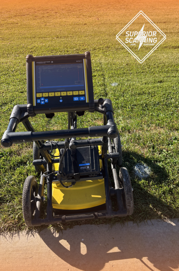
Heavy machinery ripping into concrete without verifying subsurface conditions transforms a standard excavation into a massive financial risk. Many site managers ask what ground-penetrating radar (GPR) scanning is and how the process integrates into tight project timelines.
Understanding the equipment’s methodology ensures that contractors make informed decisions before breaking ground. Partnering with a reliable team like Superior Scanning provides the precise data needed from a commercial GPR survey to keep crews safe and developments strictly on schedule.
Table of Contents
Don’t Cut, Core, or Drill Blind
Superior Scanning is trusted on complex job sites
Why Is Subsurface Mapping Essential for Contractors?
Relying on outdated municipal blueprints frequently leads to disastrous utility strikes. Paper records rarely reflect the actual conditions underground. Understanding exactly how GPR works highlights the importance of mapping dense concrete and soil before the first trench is dug. Bypassing a comprehensive subsurface evaluation exposes a project to severe financial and physical risks:
- Striking live electrical conduits that pose fatal arc flash hazards to the excavation crew.
- Severing pressurized water mains that cause instant flooding and structural washouts.
- Destroying unmarked fiber optic cables that lead to massive liability fines.
- Hitting post-tension cables that compromise the integrity of the concrete slab.
How Should General Contractors Prepare the Site?
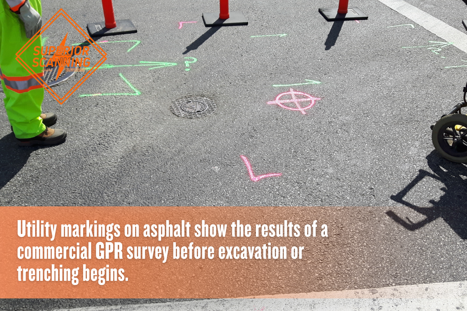
Proper preparation minimizes downtime and allows technicians to perform highly accurate GPR testing without unnecessary obstructions. Taking a few proactive steps ensures the scanning team operates efficiently upon arrival.
Clearing the Scanning Area
Removing heavy equipment, debris, and standing water from the target zone is crucial. A clean surface ensures the radar signal penetrates the ground without interference.
Providing As-Built Drawings
Supplying historical blueprints gives technicians a reliable baseline for comparison. Old plans help experts make sense of complex utility grids during the active evaluation.
Securing Site Access
Unlocking gates ahead of time keeps the schedule moving smoothly. Keeping the designated scanning zone free of heavy foot traffic prevents signal disruption.
Don’t Cut, Core, or Drill Blind
Superior Scanning is trusted on complex job sites
How Is the Field Scanning Executed?
A professional GPR scan involves systematic evaluation rather than random sweeps of the property. Highly trained technicians follow strict protocols to safely locate hidden targets beneath the surface.
Calibrating the Equipment
The operator first adjusts the radar frequencies based on specific soil composition. Selecting the right frequency ensures the machine reaches the exact target depth required for the project.
Conducting Grid Sweeps
Technicians push the radar cart in overlapping grid patterns across the designated area. This methodical movement builds a comprehensive view of the entire subsurface environment.
Marking the Ground
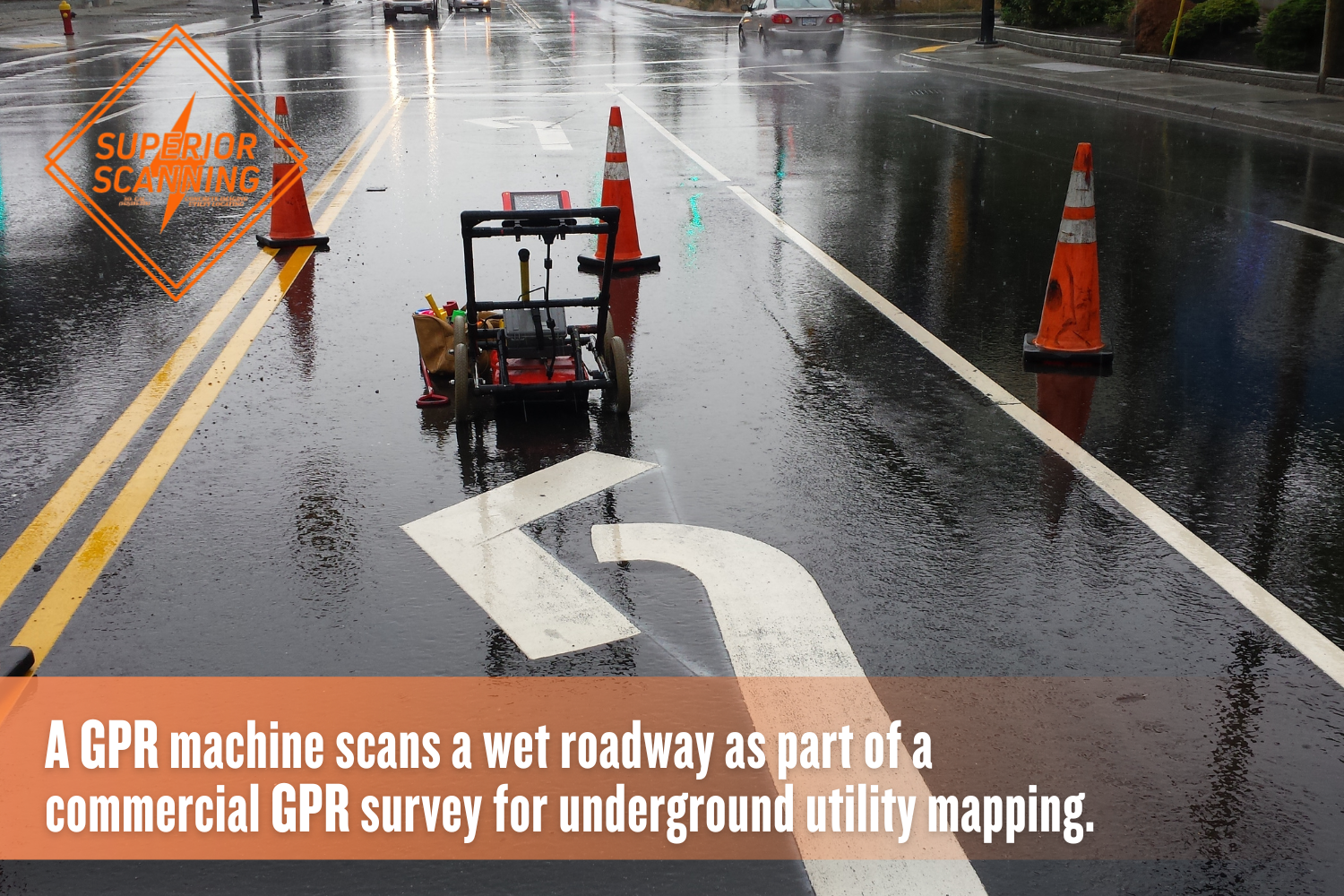
The surveyor uses industry-standard color-coded paint or flags directly on the site. These immediate visual cues mark the exact location of discovered utilities for the excavation crew.
What Deliverables Follow the Field Work?
The value of comprehensive GPR inspection services extends beyond the physical markings painted on the asphalt. After completing the physical evaluation, project managers receive detailed documentation to guide the excavation phase safely:
- A formal written report detailing the depth, location, and type of anomalies found during the assessment.
- High-resolution GPR utility mapping data that integrates seamlessly into modern CAD software.
- Photographic evidence of the marked site serves as a permanent record for future reference.
- Professional recommendations for safe clearance distances for core-drilling and trenching equipment.
Don’t Cut, Core, or Drill Blind
Superior Scanning is trusted on complex job sites
Frequently Asked Questions
What is a GPR survey?
A GPR survey is a non-destructive testing method that uses high-frequency radar pulses to map subsurface utilities without breaking the ground.
How deep can a commercial GPR scanner see?
Depending on the soil composition and material density, a commercial unit can accurately detect objects up to 15 feet beneath the surface.
Can GPR scanning detect plastic PVC pipes?
Yes, unlike traditional magnetic locators, the system detects the density difference between the plastic pipe and the surrounding dirt.
How long does a professional utility scan take?
A standard commercial evaluation typically takes a few hours, though the exact timeline depends entirely on the size of the scanning area.
Does the weather affect the accuracy of the equipment?
Heavy rain and excessively waterlogged soil attenuate radar signals, reducing penetration depth and overall mapping accuracy.
Will Hidden Utilities Derail the Next Project?
Guessing what lies beneath a commercial job site is a gamble no general contractor can afford to take. Securing professional ground penetrating radar services guarantees a safe, compliant, and highly efficient excavation phase.
At Superior Scanning, highly trained technicians serve active construction and facility sites across Southern California, including Los Angeles County, Orange County, Riverside County, and San Diego County. Request a competitive, flat-rate, or hourly quote today to protect the site from catastrophic utility strikes.
