
Don’t Cut, Core, or Drill Blind
SuperiorGPR is trusted on complex job sites
What Is Subsurface Utility Engineering?
Subsurface utility engineering is a formal, highly accurate process for investigating and mapping existing underground utilities. Construction planners rely on this data to make smart choices long before excavation begins. The practice goes far beyond simply dropping paint marks on the dirt.How Is Subsurface Utility Engineering Different From Basic Utility Locating?
Basic locating usually just involves sweeping an area and spraying a few lines on the grass. A true engineering approach runs much deeper. It involves careful planning, precise digital mapping, data quality grading, and direct coordination with the design team to prevent future conflicts.Why Is Subsurface Utility Engineering Important?
Knowing exactly where pipes are located reduces significant financial risks on active job sites. Construction crews need reliable data to prevent accidental damage and maintain the daily schedule. Accurate underground maps protect both the budget and the people holding the shovels.How Can SUE Help Reduce Risk on a Project?
Pinpointing pipes early stops operators from causing dangerous utility strikes during a trenching operation. Spotting these conflicts in the design phase removes severe safety hazards. It also prevents those sudden, mid-project design shifts that always seem to derail the master schedule.How Can SUE Help Reduce Delays and Extra Costs?
Quality data means contractors face fewer surprises and practically zero unnecessary change orders once the digging starts. The Federal Highway Administration recognizes the practice as the best way to secure utility details early. This preparation naturally lowers the risk of catastrophic delays caused by a shattered water main.
What Are the Subsurface Utility Engineering Levels?
Professionals grade utility data using four distinct subsurface utility engineering levels to clearly communicate accuracy. These grades tell the project manager exactly how much trust to place in the map. The industry relies on these specific tiers to manage site risks effectively:- Quality Level D: Relies strictly on historical records and existing plans, offering the lowest confidence level due to outdated or inaccurate paperwork.
- Quality Level C: Involves a physical site survey of visible above-ground features (like manholes or valves) to cross-reference against older records.
- Quality Level B: Utilizes specialized geophysical equipment to accurately map and mark the horizontal locations of hidden underground utilities.
- Quality Level A: The highest confidence tier, employing non-destructive vacuum excavation to physically expose and measure the exact vertical and horizontal location of the utility.
How Does Subsurface Utility Engineering Work?
A proper investigation follows a rigid sequence to ensure no line goes unnoticed. Field experts blend historical record-keeping with modern scanning technology to build a perfect picture of the property. The process moves logically from the office desk to the physical dirt.What Happens First in a SUE Investigation?
Everything starts with heavy research. The team reviews the project scope and digs through years of historical utility documents. Investigators need to know what they are walking into before they ever set foot on the physical property.How Do SUE Teams Locate Underground Utilities?
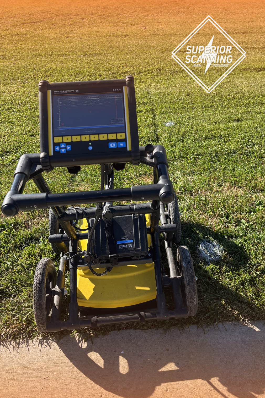
Field crews hunt for pipes using electromagnetic locating wands and ground-penetrating radar carts. The operators match these electronic signals with visible surface features to draw a highly accurate map of the hidden network.When Is Vacuum Excavation Used in SUE?
Vacuum excavation becomes necessary when a contractor needs absolute certainty about the exact depth and size of a critical pipe. Exposing the line safely is the only way to achieve Quality Level A standards. This physical verification leaves no room for costly assumptions.Don’t Cut, Core, or Drill Blind
SuperiorGPR is trusted on complex job sites
What Are Subsurface Utility Engineering Services Used For?
Smart contractors book subsurface utility engineering services to evaluate complex sites before bulldozers arrive. Seeing the underground landscape allows architects to route new trenches safely around fragile infrastructure. This data proves crucial across many construction types.When Is SUE Used During Design and Preconstruction?
Architects rely on this data in the early planning stages to finalize building placement and route selections. Coordinating utility paths right away prevents the nightmare scenario of discovering a massive concrete duct bank right where the new foundation needs to go.What Types of Projects Benefit From SUE?
Highway expansions and sprawling commercial developments lean heavily on accurate mapping. University campus upgrades, municipal pipe relocations, and dense urban renovations also require precise underground data to avoid disrupting neighborhood services.Why Does SUE Matter Before Excavation or Utility Relocation?
Good maps give project managers the confidence to make hard decisions before mobilizing the crew. Securing clear data before the buckets hit the dirt ensures the excavation team does not accidentally flood the street by destroying an aging water main.What Do You Get From a Subsurface Utility Engineering Investigation?
The end result of a formal investigation is a highly detailed and accurate documentation package of the site. These deliverables eliminate the guesswork and provide the field crew with a reliable roadmap for the weeks ahead. The final package typically includes a few vital components.What Information Should a SUE Deliverable Include?
A standard deliverable includes detailed CAD maps, strict quality-level notes, and physical paint marks left on the ground. The client also receives professional survey data and a clear report highlighting potential conflicts for the design team.Why Is Clear Utility Data Better Than Guessing From Old Plans?
Trusting old blueprints is a terrible strategy because historical as-builts are notoriously incomplete. Soil shifts, previous contractors take unrecorded shortcuts, and physical conditions change drastically over the years. Real-time data always beats decades-old paperwork.
How Do You Know Which SUE Level You Need?
Picking the right quality tier depends on the specific risks tied to the construction plan. A preliminary design sketch needs far less accuracy than an active trenching operation next to a gas line. You have to match the level of detail to the task’s danger.When Is Quality Level B Enough?
Quality Level B works perfectly for general planning and broad utility mapping across a massive empty lot. It provides excellent design support when engineers just need to know a pipe’s general horizontal path, rather than its exact depth.When Should You Move Up to Quality Level A?
You must elevate to Quality Level A when navigating a critical pipe crossing or a tight utility corridor. High-risk excavation zones demand this highest tier because knowing the exact depth of the pipe is the only way to keep the crew safe.When Should You Call a Professional Like Superior Scanning?
Complex job sites demand technicians who can accurately interpret messy underground signals, helping your crew avoid disastrous decisions based on flawed assumptions. Calling a professional team is absolutely non-negotiable in several specific situations:- Incomplete Records: Your project is forced to rely on missing or outdated municipal blueprints.
- Dense Congestion: The site features a high concentration of overlapping underground utilities.
- High-Risk Trenching: The excavation plan involves digging directly adjacent to critical utilities, where a strike could disrupt operations.
- Complex Signal Interpretation: You need seasoned experts to translate complicated ground radar data into crystal-clear documentation, bridging the gap between paper plans and the actual dirt.
Why Choose Superior Scanning for Subsurface Utility Engineering Services in Southern California?
Superior Scanning delivers the accurate underground data required to keep major construction timelines on track. The technicians exist to eliminate the immense dangers of blind digging. The team helps projects succeed by offering guaranteed precision and highly readable reports.How Does Superior Scanning Help Crews Make Clearer Field Decisions?
The focus remains purely on delivering fewer surprises and total visibility into the ground before the heavy equipment starts up. Superior Scanning provides essential guidance before cutting, trenching, and excavation across Los Angeles, Orange County, Riverside, and San Diego.Don’t Cut, Core, or Drill Blind
SuperiorGPR is trusted on complex job sites
