
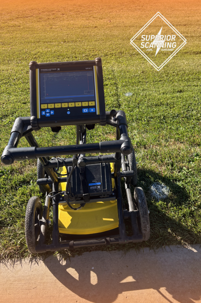
A sudden downpour can threaten even the most carefully planned construction schedule. Heavy machinery might push through the mud easily, but subsurface imaging relies on precise physics that water quickly disrupts. Using a reliable underground scanning service can be complicated when the ground is completely saturated. Site managers need accurate data to prevent costly utility strikes and dangerous accidents.
Superior Scanning serves as a highly knowledgeable technical partner capable of navigating complex environmental conditions. We evaluate the terrain to safeguard the project and ensure the crew’s safety.
Table of Contents
Don’t Cut, Core, or Drill Blind
Superior Scanning is trusted on complex job sites
What Is Ground Penetrating Radar?
Understanding exactly what ground penetrating radar (GPR) is helps project managers see why environmental factors matter. The machine maps the earth beneath a job site without disturbing a single rock. It relies on specific physical principles to reveal hidden utilities.
Emission of High-Frequency Radio Waves
The radar unit sends targeted microwave pulses directly into the soil to begin mapping. These invisible signals travel downward through the earth until they encounter a solid object.
Detection of Subsurface Material Changes:
These radar waves reflect differently when they hit buried pipes or concrete structures than when they hit regular dirt. The system then measures the exact time it takes for these reflections to return to the surface.
Creation of Digital Site Blueprints
Technicians use the reflected signals to generate a precise visual map of the entire underground landscape. Project managers rely on this accurate model to guide excavation crews safely around hidden hazards.
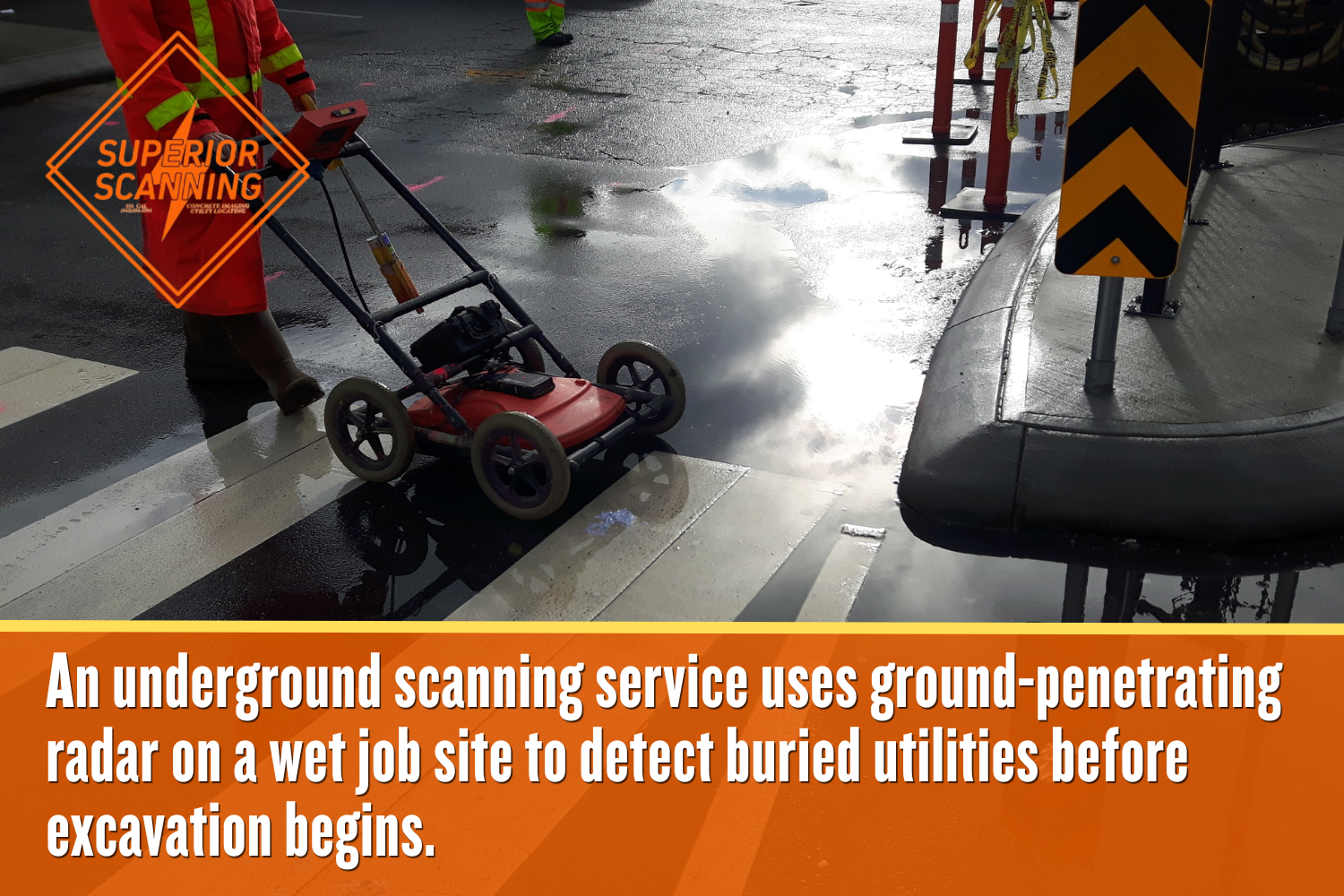
How Does Rain Affect Ground-Scanning Radar Accuracy?
Moisture creates a direct and immediate impact on radar wave transmission. Water changes the earth’s dielectric properties, causing signals to dissipate before reaching deep utility lines. The ground-scanning radar struggles to separate water from buried targets.
Absorption of Radar Signals
Heavy moisture attenuates radio waves and prevents the GPR scanning equipment from penetrating deeper. This sudden loss of energy creates a massive blind spot directly beneath the wet surface.
Reduction of Maximum Scanning Depth
A machine that normally sees ten feet down might only penetrate two feet in heavily saturated conditions. Technicians must account for this severe limitation before approving any deep excavation work.
Distortion of Utility Imaging
Water pockets create false reflections that blur the digital map and hide the true location of pipes. This blurry data makes it incredibly dangerous for construction crews to dig without secondary verification.
Don’t Cut, Core, or Drill Blind
Superior Scanning is trusted on complex job sites
Which Soil Types React Worst to Moisture?
Different geologies handle water retention uniquely, which directly impacts underground scanning accuracy. Certain environments drain quickly, while others turn into impenetrable radar shields after a storm. You will notice distinct differences based on the ground composition:
- Clay-heavy environments that trap water and block radar penetration
- Sandy geologies that drain rapidly and maintain excellent visibility
- Loam compositions with highly unpredictable moisture retention rates
Can Ground Penetrating Radar Equipment Operate in the Rain?
Active precipitation shifts the focus from the soil directly to the actual hardware. Operating ground-penetrating radar equipment in a downpour imposes physical limitations on the crew. You must consider these operational challenges before proceeding:
- Waterproof casing capabilities of modern scanner units
- Safety risks regarding slippery and unstable site terrain
- Display screen visibility issues during heavy downpours
How Do Experts Adjust for Wet Site Conditions?
Professionals make tactical adjustments when faced with saturated earth. A skilled technician utilizes alternative methods and equipment settings to ensure the job proceeds safely despite recent rainfall. Proper planning keeps the excavation timeline intact.
Calibration of Antenna Frequencies
Technicians switch to lower-frequency antennas to push signals through wet soil at the cost of slightly reduced image resolution. This tactical adjustment sacrifices some fine detail but ensures the radar reaches the necessary depth.
Utilization of Electromagnetic Locators
Teams deploy underground locating services using magnetic tools that track metallic pipes regardless of soil moisture. This alternative method guarantees accurate mapping even when heavy rain renders radar technology useless.
Rescheduling for Optimal Soil Dryness
Site managers sometimes pause the scan for a few days to let the ground drain completely. Waiting for the earth to dry restores full visibility of equipment and prevents costly mapping errors.
Don’t Cut, Core, or Drill Blind
Superior Scanning is trusted on complex job sites
Frequently Asked Questions
Can you perform an underground scanning service on wet grass?
Technicians can easily scan over wet grass as long as the underlying soil is not completely saturated.
Does ground freezing affect GPR scanning depth?
Frozen ground actually improves radar penetration because ice restricts signal absorption better than liquid water.
How long should soil dry before scheduling underground locating services?
Wait at least two to three days after a heavy rainstorm to allow dense soils to drain properly.
Will surface puddles ruin ground penetrating radar equipment?
Most modern scanning units feature weather-resistant casings that protect the internal electronics from shallow puddles and light rain.
Is an electromagnetic locator better than GPR in the rain?
Electromagnetic tools perform exceptionally well in wet conditions because moisture does not interfere with magnetic tracking signals.
Will Weather Derail the Next Excavation Project?
Understanding environmental limitations is vital before scheduling a site assessment. Partnering with experienced technicians prevents weather-related safety hazards and costly excavation delays. Ignoring the impact of moisture leaves the crew vulnerable to hidden subsurface dangers. Contact Superior Scanning to evaluate site conditions and secure an accurate subsurface map today.
