Frequently Asked Questions
Answers to common questions about Superior Scanning’s concrete scanning, private utility locating, and site scheduling in Southern California.
General & Scheduling
Where do you offer services?
We serve active construction and facility sites across Southern California. Our primary service areas include Los Angeles County, Orange County, Riverside County, and San Diego County. If your project is on the border of these regions, please contact us to confirm coverage.
How quickly can you get to my job site?
We understand that construction schedules change fast. We often accommodate next-day or same-week requests, and same-day service may be available depending on crew location and current workload. Check availability now
Are you insured?
Yes. SuperiorGPR carries commercial general liability and professional liability insurance required to work on major commercial, industrial, and government job sites.
How much does concrete scanning or utility locating cost?
Pricing depends on the scope of work (e.g., number of core locations vs. scanning a full trench line), the time required on-site, and travel. We provide competitive, flat-rate, or hourly pricing based on project details. Request a Quote
Concrete Scanning (GPR)
What can GPR find in concrete?
Ground Penetrating Radar (GPR) detects changes in material properties. In concrete, we primarily look for:
- Rebar and wire mesh
- Post-tension cables
- Conduits (PVC and metal)
- Voids or significant thickness changes
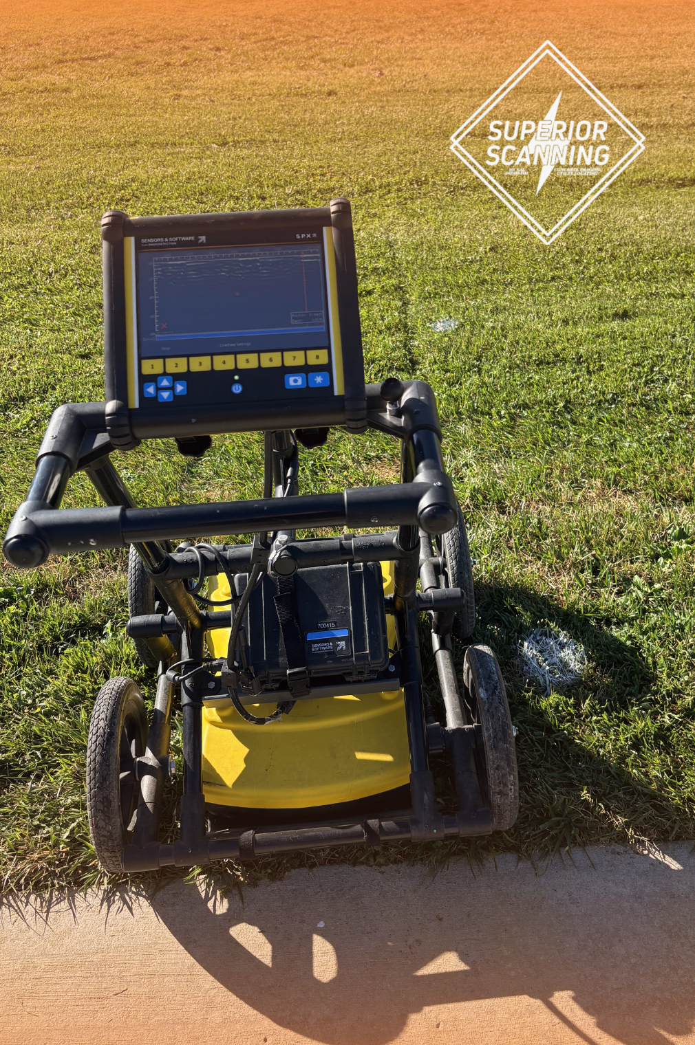
How deep can you scan into concrete?
Our handheld units, like the Proceq GP8000, are typically effective up to 18-24 inches deep in concrete, though 12-14 inches is the most common range for high-resolution imaging. Clarity depends on the age of the concrete, moisture content, and rebar density.
Can you scan through carpet, tile, or insulation?
- Tile/Vinyl/Carpet: Yes, GPR can scan through most standard floor coverings, though thick natural stone or metal-backed materials can interfere with the signal.
- Insulation/Dirt: We cannot scan through air gaps or loose insulation. The sensor must be coupled to a solid surface.
Can you guarantee you will find everything?
No technology offers a 100% guarantee. GPR is an interpretation science. However, using advanced equipment and experienced technicians significantly reduces the risk of hitting embedded objects. If a scan is inconclusive due to site conditions, we will tell you immediately so you can make an informed safety decision.
What is the difference between X-Ray and GPR?
- GPR: Faster, safer (no radiation), requires access to only one side of the slab, and allows work to continue nearby. It is the standard for 90% of jobs.
- Concrete X-Ray: Requires access to both sides of the slab and a strict exclusion zone (clearing the floor) due to radiation. It provides a clearer picture in highly congested slabs but is slower and more expensive.
- We can coordinate Subcontracted X-Ray services if your project requires it.
Private Utility Locating
I called 811 (DigAlert). Why do I need a private locator?
811 only locates public utilities up to your property meter or master connection point. They do not locate anything after the meter (private side), such as:
- Parking lot lights
- Secondary electric lines to detached buildings
- Private water or sewer laterals
- Sprinkler systems
- Propane lines Learn more about Private Utility Locating
Can you find plastic (PVC) water or gas pipes?
GPR can detect plastic pipes if the soil conditions are right, but plastic is non-conductive, meaning standard electromagnetic locators cannot “clip on” to it. We use GPR to look for the disturbance in the soil or the pipe structure itself. If the pipe has a “tracer wire” installed, we can locate it easily.
Do I need to mark out the scan area before you arrive?
Yes, it is best practice to white-line or stake out your proposed excavation area. This ensures we focus our time on the exact path you intend to dig, saving you money and time.
Does rain affect utility locating?
Light rain is usually fine. However, heavy standing water can limit GPR effectiveness, and lightning is a safety hazard for crews operating conductive equipment. We will communicate with you if weather threatens the schedule.
Utility Mapping & Deliverables
What do I get at the end of the service?
- Standard Service: We mark findings directly on the ground using APWA color codes (paint/flags/chalk). This is the standard for immediate cutting or digging.
- Field Report: A summary of findings and site photos can be provided.
- Mapping: If requested in the scope, we can provide a field sketch or a digital map overlay (Google Earth/CAD/PDF) using Utility Mapping services.
What is SUE (Subsurface Utility Engineering)?
SUE is an engineering process that combines civil engineering, geophysics, and surveying. While we provide the field locating (geophysics) portion (Quality Level B), full SUE deliverables usually involve licensed engineers and surveyors. We often work alongside engineering firms to provide the designating/locating data they need.
Still Have Questions?
If you have a specific site condition or need a walkthrough of the process, give us a call or send a message.