
Subsurface Utility Engineering Services for Better Utility Planning
Subsurface utility engineering helps project teams manage underground utility information before design and construction decisions advance. This supports better planning, coordination, and conflict reduction across complex projects.
When teams need more structured utility data than a simple field locate, SUE provides a quality-level approach for stronger decision-making.
Subsurface utility engineering is a more structured application of <a href="https://superiorgpr.com/utility-mapping">utility mapping services</a> for projects that need stronger utility planning and documentation.
What Is Subsurface Utility Engineering?
Subsurface utility engineering is a structured approach to collecting and depicting subsurface utility information. It supports utility mapping, project planning, and conflict avoidance before major design or construction commitments are made.
SUE is practical and project-focused. It helps teams reduce uncertainty by improving the underground utility picture before work moves forward.
What SUE Means on a Real Project
SUE helps teams understand underground utility conditions before construction and design decisions. It supports planning, coordination, and reduced unknowns in preconstruction workflows.
- Structured utility investigation before design finalization
- Quality-level utility information for project decision-making
- Conflict identification before construction commitments
- Planning support for design arounds and relocations
- Clear communication for stakeholders and project teams
What Subsurface Utility Engineering Services Can Include
SUE subsurface utility engineering services are designed to support planning clarity before design and construction work advances.
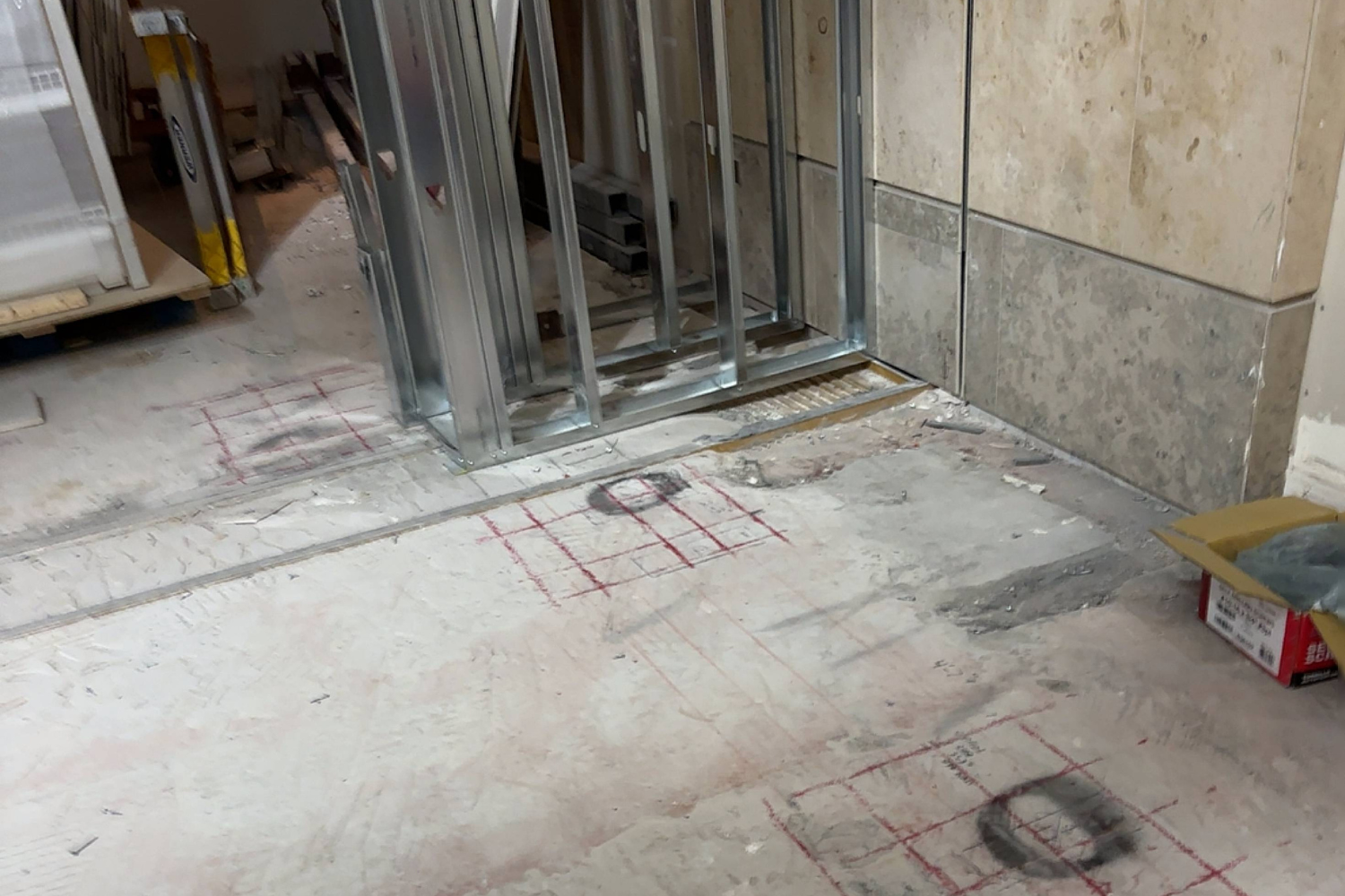
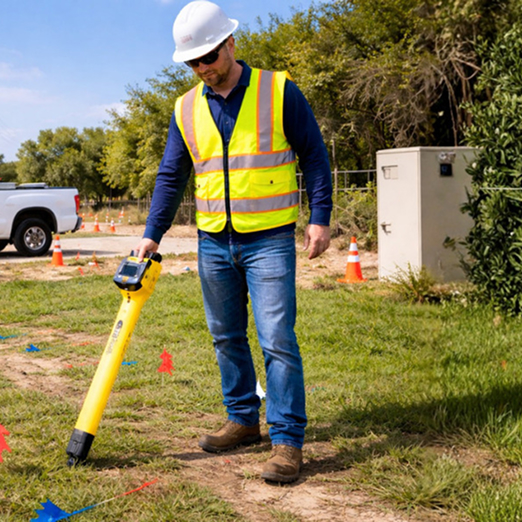
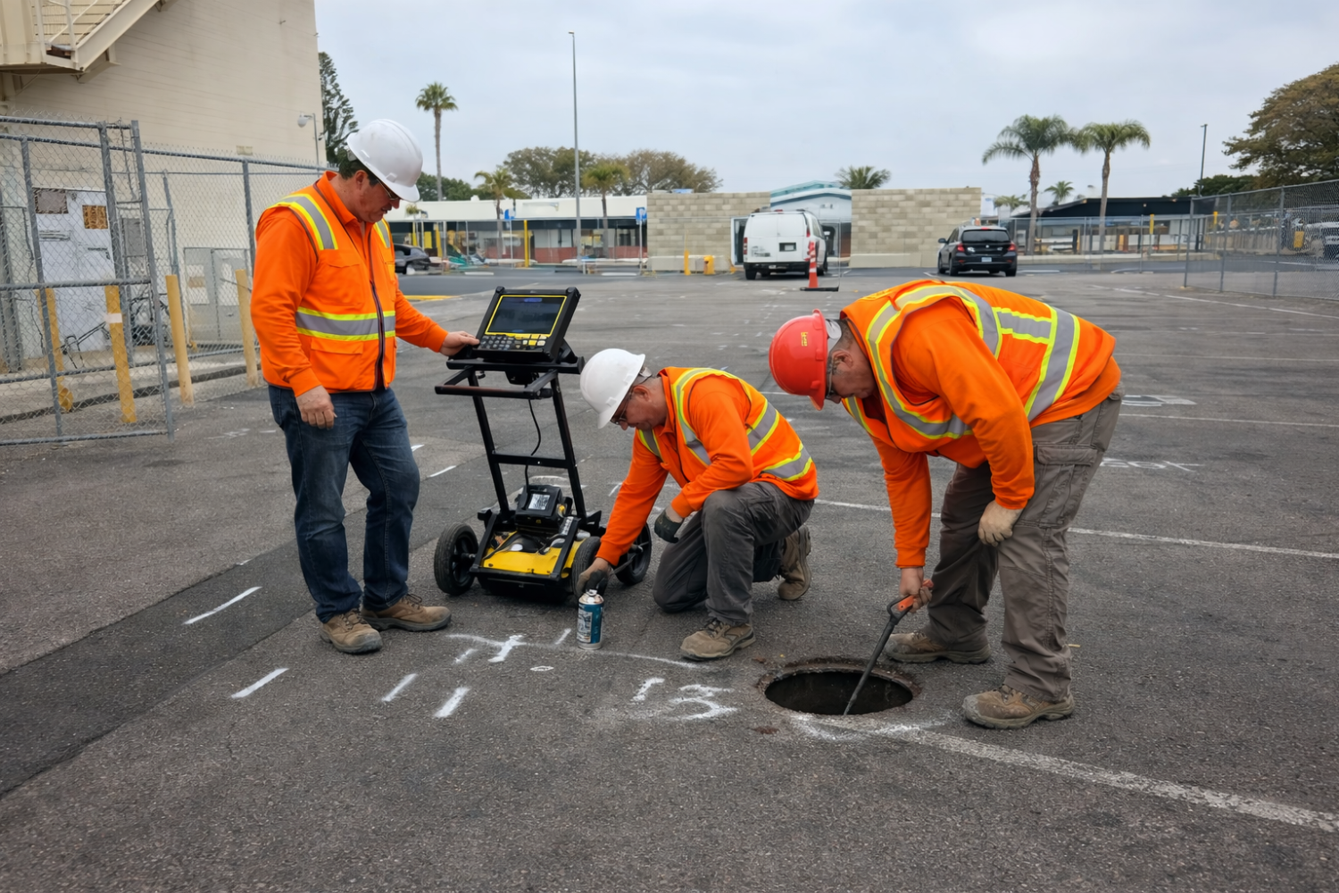
Utility Investigation and Data Collection
This includes collecting utility information in the field and evaluating underground conditions before project decisions are finalized.
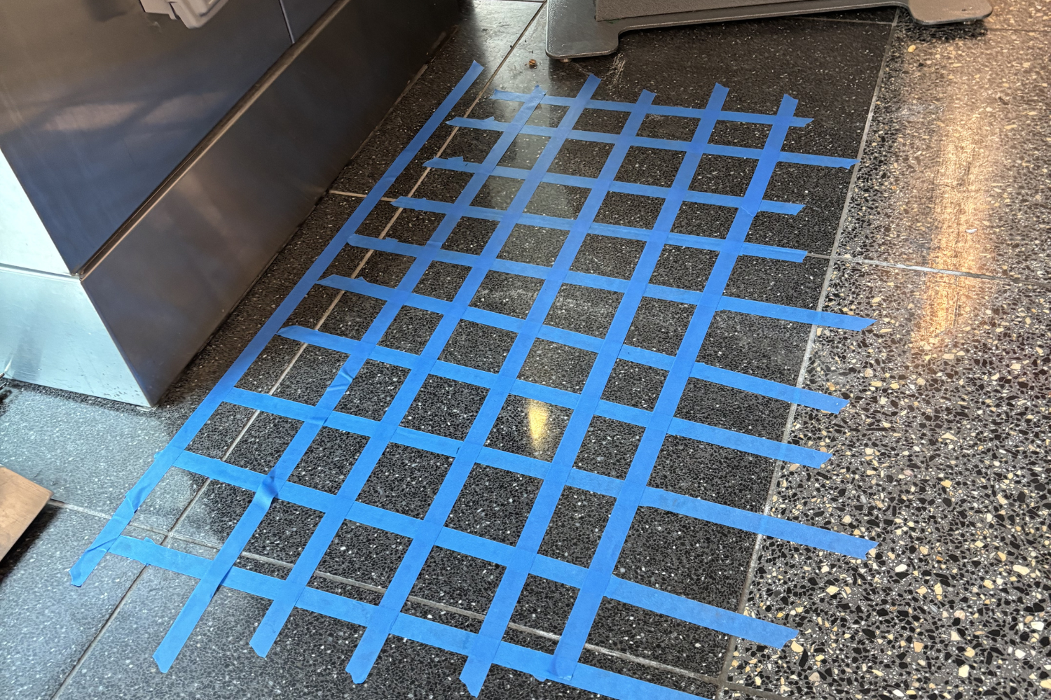
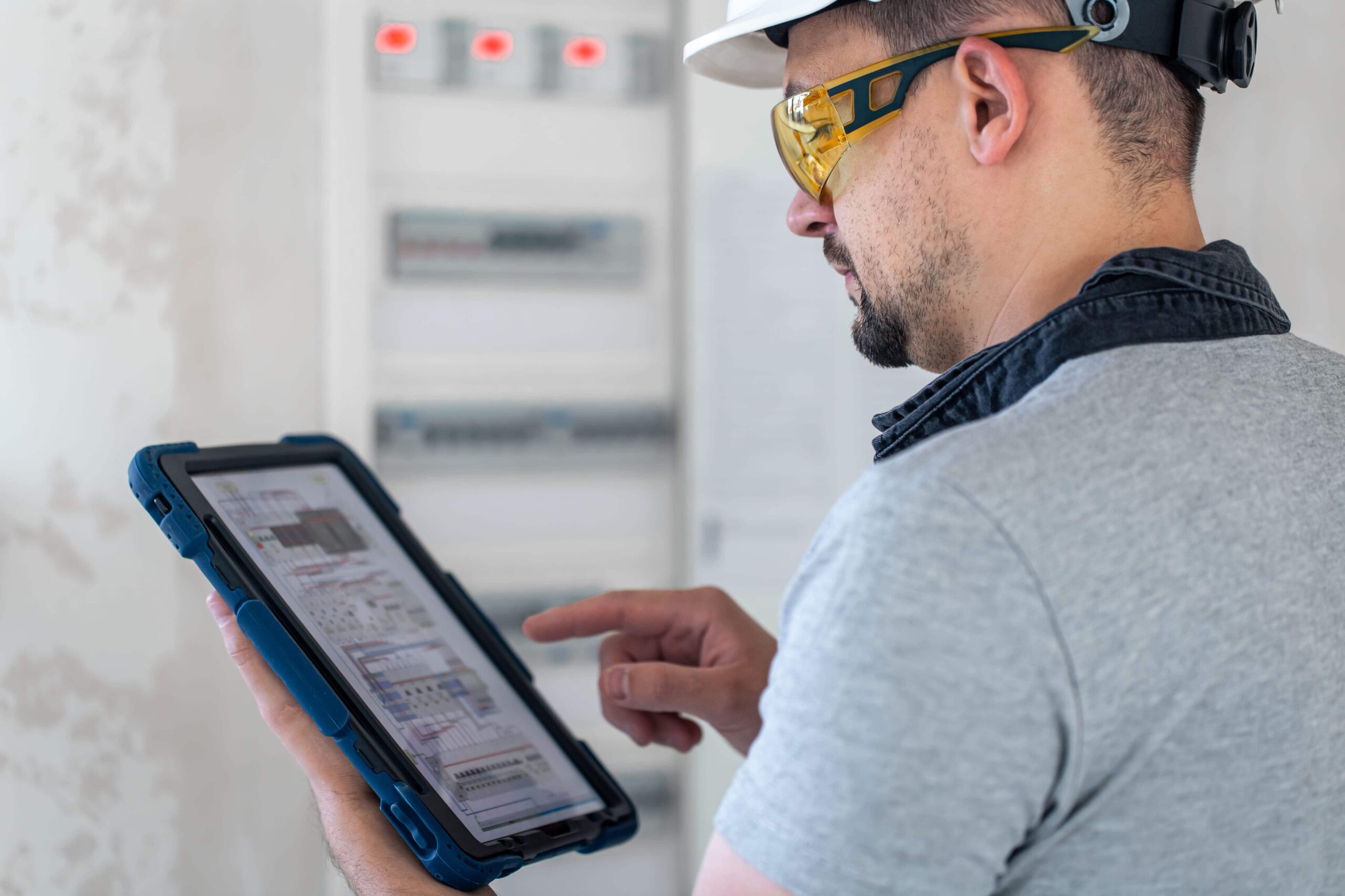
Utility Mapping and Documentation
Mapped utility information and structured documentation support project coordination, planning communication, and team alignment.
Conflict Identification and Planning Support
SUE helps teams identify potential utility conflicts earlier and supports decisions around design adjustments, relocation planning, and sequencing.
Subsurface Utility Engineering Levels
Subsurface utility engineering levels provide a practical quality hierarchy for utility depiction, from limited record-based information to highest-accuracy confirmation.
Quality Level D
Based primarily on existing records or recollections. It is the least reliable level and works as an initial reference only.
Quality Level C
Combines record information with visible surface features, adding field correlation to improve understanding.
Quality Level B
Uses designated surface geophysical methods to identify utility locations and provides better horizontal depiction than records alone.
Quality Level A
The highest accuracy level currently available. It uses nondestructive exposure to confirm precise utility location and characteristics where needed.
Why SUE Matters Before Design and Construction
SUE provides better utility information early, helping teams reduce utility-related conflicts and improve planning confidence before commitments are locked in.
Helps Reduce Utility Conflicts Early
Better utility information earlier in the process supports smarter planning before excavation or design commitments and helps reduce avoidable surprises.
Supports Better Design and Coordination
SUE gives engineers, contractors, and owners a clearer utility picture so stakeholders can coordinate from shared reference points.
Helps Improve Project Confidence
Better data supports better decisions, especially on complex projects with access limits, congestion, or incomplete records.
When You Should Schedule Subsurface Utility Engineering
SUE is most valuable when scheduled early enough to influence planning, design, sequencing, and coordination decisions.
During Preconstruction and Design Planning
Schedule SUE before plans are finalized so teams can evaluate underground constraints and reduce rework risk.
Before Excavation, Trenching, or Utility Relocation Decisions
SUE helps when buried utility conflicts could affect scope, sequencing, or design around existing infrastructure.
For Transportation, Infrastructure, and Complex Commercial Projects
This is especially relevant where utility congestion, public coordination, and large scopes require stronger utility information discipline.
When Existing Utility Records Are Incomplete
Older records may not reflect real field conditions. SUE improves confidence in the utility picture before work progresses.

Who Uses Subsurface Utility Engineering Services
SUE supports teams responsible for planning, design, coordination, and delivery on utility-sensitive projects.
Engineers, Designers, and Project Managers
Civil engineers, design teams, project managers, and consultants use SUE to improve utility visibility before critical project decisions.
Contractors, Owners, and Public Agencies
General contractors, utility contractors, owners representatives, agencies, and infrastructure stakeholders use SUE for complex commercial and public-sector projects.
Why Choose Superior Scanning for SUE Support
Superior Scanning provides practical SUE support aligned to planning outcomes, quality-level workflows, and active project schedules.
Clear Utility Information for Project Decisions
We deliver actionable utility information for planning and coordination, not vague reporting language.
Support for Quality-Level Utility Workflows
We support projects that need structured quality-level utility information aligned with project requirements.
Responsive Coordination for Active Projects
Communication matters when schedules are moving. We support both preconstruction planning and field coordination needs.
Subsurface Utility Engineering Service Areas
Superior Scanning supports SUE services across Southern California for transportation, infrastructure, commercial, and facility projects.
Areas We Serve
Our teams regularly support projects across:
- Los Angeles
- Orange County
- Riverside
- San Diego
- Surrounding Southern California areas
Looking for SUE Services Near Your Project Site?
If your project needs structured utility information before design or construction advances, call now or request a quote to schedule service.
Need a broader overview of planning and documentation support? Learn more about our utility mapping services.
Frequently Asked Questions About Subsurface Utility Engineering
What is subsurface utility engineering?
Subsurface utility engineering is a structured process for collecting and depicting underground utility information to support planning, design, and construction coordination.
What does SUE stand for?
SUE stands for subsurface utility engineering.
What is the difference between SUE and utility mapping?
Utility mapping is the broader service category. SUE is a more structured, quality-level and planning-focused workflow within that category.
What are subsurface utility engineering levels?
The levels are QL-D, QL-C, QL-B, and QL-A, progressing from lower-confidence record-based information to higher-accuracy confirmed utility information.
When do I need subsurface utility engineering services?
SUE services are commonly needed before design decisions, excavation, relocation planning, and complex multi-stakeholder project coordination.
Do you provide SUE services in Southern California?
Yes. Superior Scanning provides SUE services across Southern California, including Los Angeles, Orange County, Riverside, and San Diego.
Request Subsurface Utility Engineering Services
If your project needs better utility information before design and construction decisions are finalized, now is the right time to schedule SUE support.
Call now or request a quote. Send your site location and project scope, and we will align recommendations to your planning needs, utility concerns, and timeline.
