
Utility Mapping for Construction Planning and Site Coordination
Utility mapping for construction helps project teams plan with better visibility into underground conditions before excavation, trenching, and layout decisions begin.
By organizing utility information early, teams can coordinate across trades and stakeholders with less uncertainty during preconstruction and field planning.
Utility mapping for construction is one of the most practical applications of utility mapping services before excavation and site coordination begin.
What Is Utility Mapping for Construction?
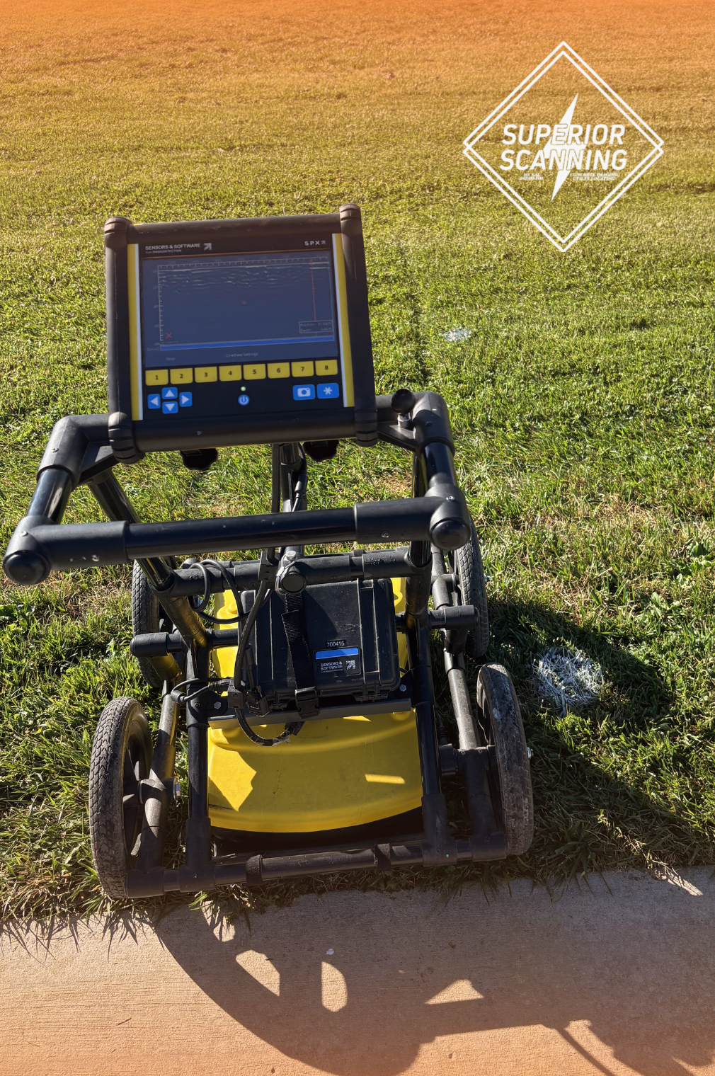
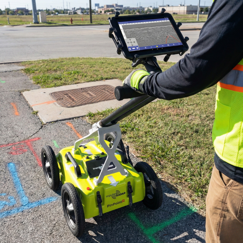
Utility mapping for construction applies utility mapping directly to construction planning needs. It helps teams organize underground utility information before site work begins so planning decisions are based on field-informed conditions.
This service is practical and project-focused: it supports layout, coordination, and planning before work moves into active excavation or trenching.
What Utility Mapping Means in a Construction Context
In a construction context, buried utility information is collected and organized for planning use. This helps teams understand underground conditions earlier and coordinate before work moves into the field.
- Before excavation or trenching
- Before layout changes or utility routing
- Before multi-trade construction work
- When existing utility records are incomplete
- When planning decisions need field-verified utility context
Why Utility Mapping Matters Before Construction Begins
This service improves planning clarity before construction begins by giving teams better visibility into underground conditions and reducing avoidable surprises during field execution.
Helps Improve Preconstruction Planning
Utility mapping supports design review, scope planning, and field coordination before work starts. It is especially useful before equipment layout, trench routing, and utility work sequencing.
Helps Reduce Surprises During Excavation and Site Work
Incomplete records can create unexpected conflicts. Mapping helps confirm real site conditions earlier so teams can execute with fewer disruptions.
Supports Better Coordination Across Trades
Contractors, engineers, and utility teams often need the same underground information. Mapping provides a clearer shared reference that supports scheduling and field planning.
When Utility Mapping for Construction Projects Is Needed
Construction teams typically schedule mapping before major planning and coordination milestones to reduce uncertainty before field work begins.
Before Excavation or Trenching
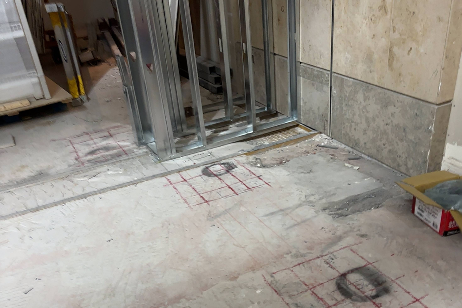
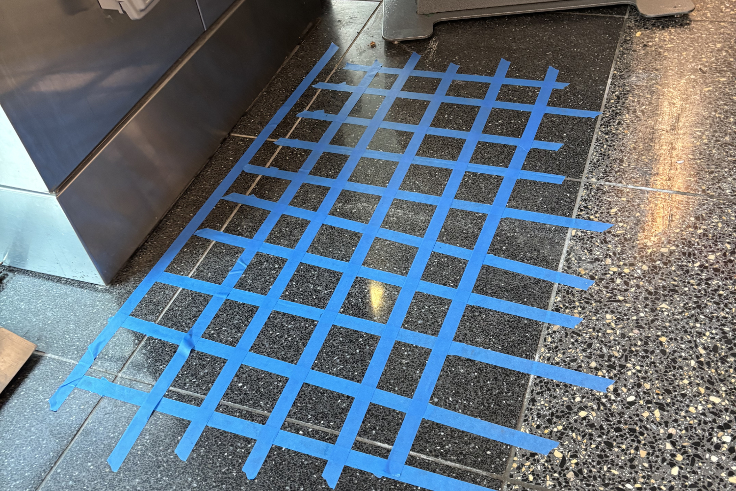
Buried utility conflicts are a major concern before ground disturbance. Mapping helps teams plan with better information before excavation starts.
Before Layout Changes or Utility Routing
When projects need new utility paths or site modifications, mapping supports field planning and coordination by providing a clearer underground reference.
Utility Mapping vs Simple Field Locating for Construction Planning
Teams often confuse locating and mapping. Knowing the difference helps you request the right service at the right stage of construction planning.
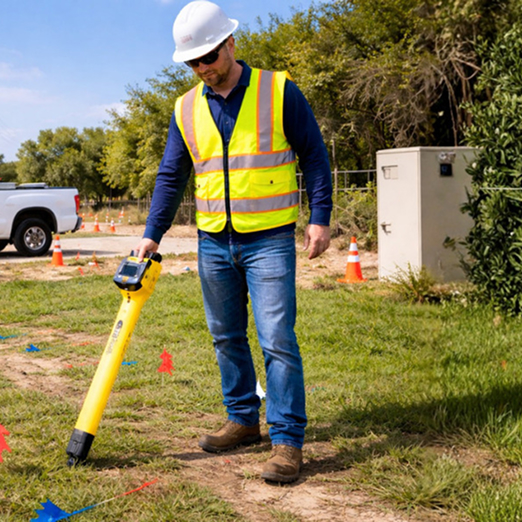
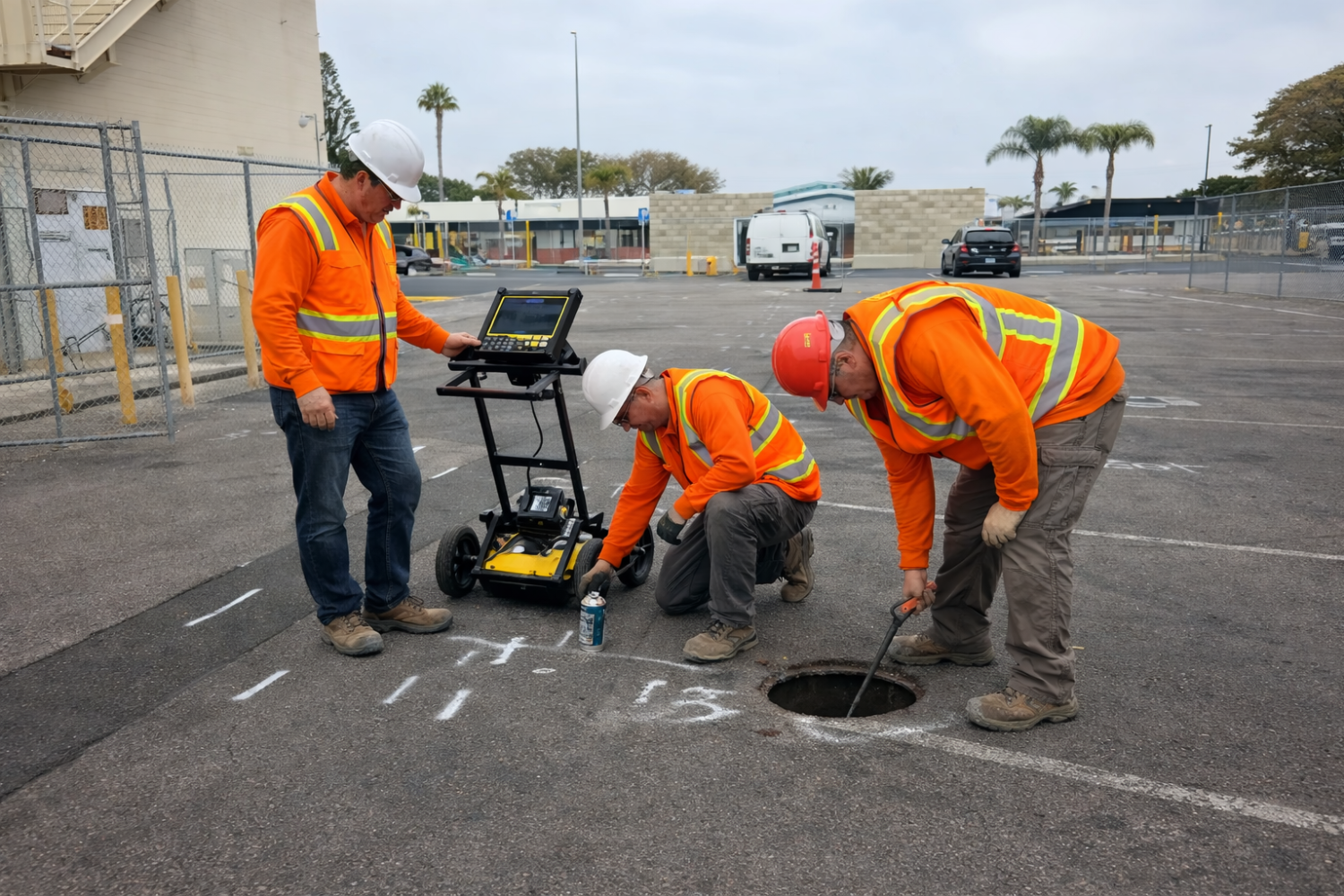
Utility Locating Helps Identify Utilities in the Field
Utility locating is often used for immediate onsite decisions. Field marks help crews understand where utilities are before active work.
Utility Mapping Helps Organize Information for Ongoing Project Use
Mapping supports planning, documentation, and coordination when project teams need a longer-lasting reference point than temporary markings.

Before Multi-Trade Construction Work
Mapping is especially useful when several teams need the same underground utility information. It reduces confusion across contractors and stakeholders.
When Existing Utility Records Are Incomplete
Site drawings and as-builts may not reflect actual field conditions. Mapping helps verify what is present before construction moves forward.
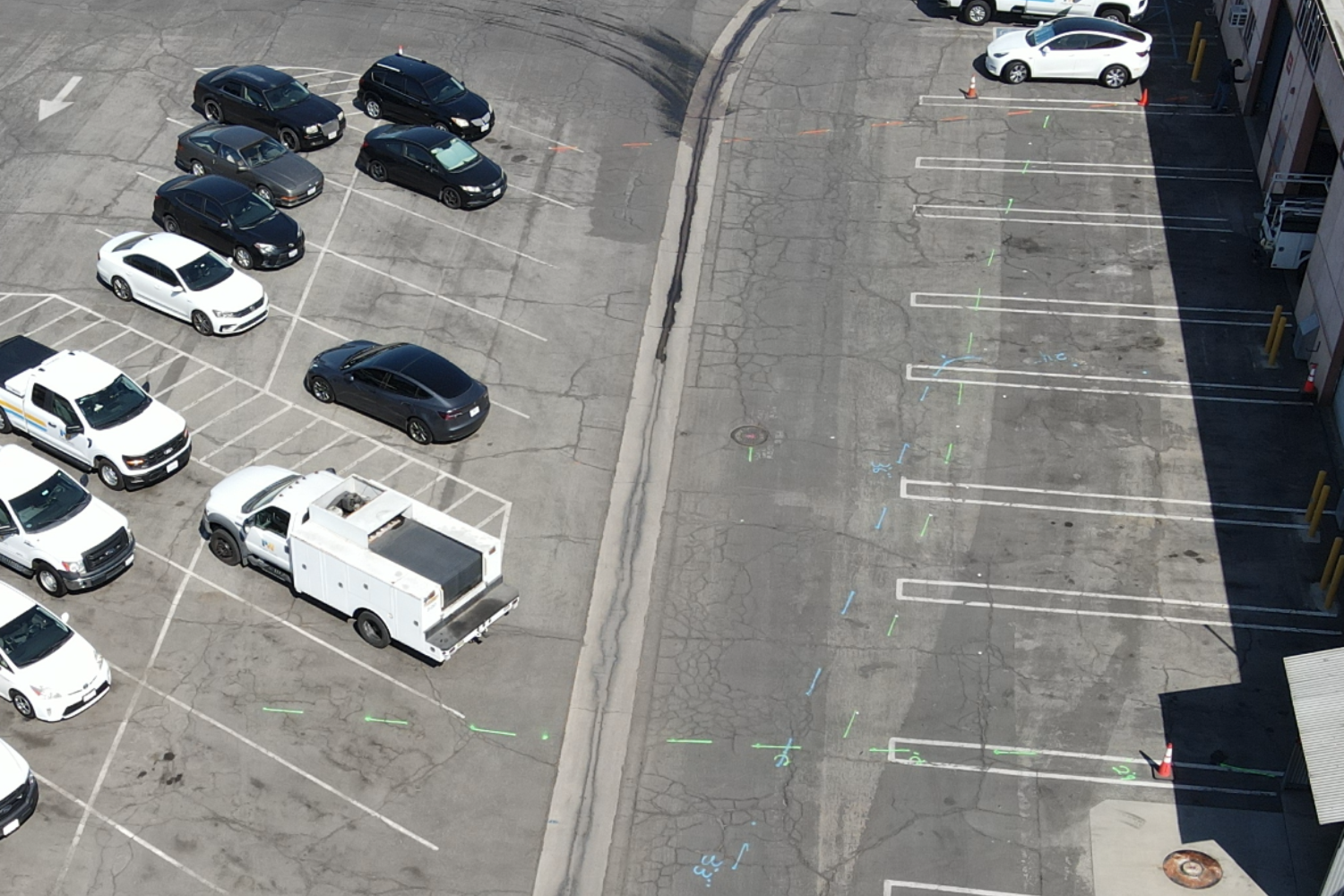
What Utility Mapping for Construction Can Include
Deliverables are scope-dependent and designed to provide usable information for planning and coordination rather than technical overload.
Underground Utility Documentation
Buried utility paths are documented for project teams and preconstruction review to support safer and more coordinated site execution.
Field References, Notes, and Photo Documentation
These references help teams understand what was found onsite and are useful for planning meetings, handoffs, and internal coordination.
Scope-Dependent Mapping Outputs
Mapped deliverables depend on project scope and are tailored to what the team needs for planning, coordination, and field execution.
Who Uses Utility Mapping for Construction Planning
This service supports project stakeholders who need reliable underground utility information before and during construction coordination.
Contractors and Construction Teams
General contractors, civil contractors, excavation teams, utility contractors, and project managers use mapping to plan and coordinate site work more effectively.

Engineers, Owners, and Facility Stakeholders
Engineers, owners representatives, facility managers, developers, and commercial or industrial property stakeholders use utility mapping to support planning and reduce project risk.
Why Choose Superior Scanning for Construction Utility Mapping
Superior Scanning provides project-focused utility mapping support with clear information, responsive scheduling, and practical coordination value.
Clear Information for Construction Planning
We provide information teams can use before work begins, reducing reliance on assumptions or incomplete records during preconstruction.
Support for Active Project Schedules
Construction timelines move quickly. Responsive scheduling and communication help keep planning and execution aligned.
Utility Mapping Built Around Real Project Needs
Our approach is built for planning, coordination, and field execution needs, not generic reporting language.
Practical Support for Multi-Team Workflows
We structure deliverables so multiple teams can use the same utility information without confusion during active project phases.
Coordination-Focused Communication
Clear communication supports handoffs, scheduling, and field planning across stakeholders throughout the project lifecycle.
Utility Mapping Service Areas for Construction Projects
Superior Scanning supports construction utility mapping throughout Southern California with local, project-ready service.
Areas We Serve
Our teams regularly support utility mapping for construction projects in:
- Los Angeles
- Orange County
- Riverside
- San Diego
- Surrounding Southern California areas
Looking for Utility Mapping for Construction Near Your Project Site?
If your project needs utility mapping support before excavation or layout changes, call now or request a quote to schedule service.
Need broader planning and documentation support? Learn more about our utility mapping services.
Frequently Asked Questions About Utility Mapping for Construction Planning
What is utility mapping for construction?
Utility mapping for construction documents underground utility information for planning, coordination, and field execution before work begins.
Why is utility mapping important before construction begins?
It supports planning clarity, coordination, and reduced surprises by helping teams understand underground conditions earlier.
What is the difference between utility mapping and utility locating?
Utility locating identifies utilities in the field, while utility mapping organizes that information for broader, ongoing project use.
When should utility mapping be done on a construction project?
It should be scheduled before excavation, trenching, layout changes, or preconstruction planning when utility information affects project decisions.
What deliverables are included?
Deliverables depend on scope and may include field references, notes, photos, and mapped outputs tailored to project coordination needs.
Do you provide utility mapping for construction projects in Southern California?
Yes. Superior Scanning supports utility mapping for construction projects across Southern California, including Los Angeles, Orange County, Riverside, and San Diego.
Request Utility Mapping for Construction Planning
If your project team needs clearer underground visibility before field work starts, schedule utility mapping now to support safer planning and coordination.
Call now or request a quote. Send your site location and project scope, and we will help with timing, planning needs, and coordination goals.
